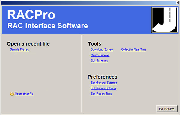
RACPro is a Windows-based program for use with the RAC Geo II Distance Measuring Instruments. It allows you to download surveys that have been collected with the RAC Geo II and once that data is in the program it can be analyzed and edited in a variety of ways. Comprehensive reports, which can be customized to suit your needs, can be produced.
Data can also be collected and sent from the RAC to a computer in real time.
Data that has been collected with GPS coordinates can also be mapped using the optional MapPoint software or Google Earth. Note that mapping with Google Earth requires an active Internet connection. Mapping with MapPoint can be done offline.
Key Features
Download Data
Download study data from your RAC Geo II device
Real-Time Access
Data can be collected and sent from the RAC Geo II to your computer in real-time
Map GPS Coordinates
View GPS coordinates on a map online or offline with support for MapPoint and Google Earth
Comprehensive Reports
Customize and generate reports from the collected data